Physical Address
304 North Cardinal St.
Dorchester Center, MA 02124
Physical Address
304 North Cardinal St.
Dorchester Center, MA 02124
Verified California earthquake facts: earliest reported quake (1769), Southern California frequency (~10,000/year), largest historical quakes, 1906 fatalities, Northridge costs, faults—fully sourced.
")
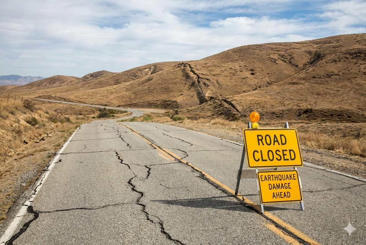
California experiences frequent earthquakes because it sits on the boundary between major tectonic plates and contains many active faults, including the San Andreas Fault. Most earthquakes are small, but the state has also experienced some of the most significant and damaging quakes in U.S. history.
Quick takeaways
On this page:
Earliest reported California earthquake:
1769 (felt about 48 km / 30 miles southeast of Los Angeles, per USGS)
Largest historical California earthquakes (accepted moment magnitudes):
USGS summarizes the three largest historical California earthquakes as: 1857 Fort Tejon (Mw 7.9), 1872 Owens Valley (Mw 7.6), and 1906 San Francisco (Mw 7.8). (USGS)
Deadliest California earthquake (commonly cited):
The 1906 San Francisco earthquake is associated with more than 3,000 deaths in USGS summaries. (USGS)
Costliest California earthquake (major modern benchmark):
The California Geological Survey notes the 1994 Northridge earthquake caused up to $20 billion in damage costs (and additional related losses). (California Geological Survey)
Southern California: USGS reports that the region experiences about 10,000 earthquakes each year; only several hundred are greater than magnitude 3.0, and about 15–20 are greater than magnitude 4.0. (USGS)
Want current counts? The USGS earthquake search tool lets you filter by location, magnitude threshold, and time range to see up-to-date totals. (USGS Earthquake Search)
San Andreas Fault length (fault-zone scale): The USGS Quaternary Fault and Fold Database describes the San Andreas fault zone as about 1,100 km long. (USGS)
Interactive fault map: For detailed mapping of active (Quaternary) faults, USGS provides an interactive fault map via its Quaternary fault database. (USGS Interactive U.S. Fault Map)
California leads the nation in earthquake insurance premiums: The Insurance Information Institute’s earthquake fact tables show California ranked #1 for earthquake insurance direct premiums written (2024 table). (III)
Earthquake early warning (not prediction): USGS explains that ShakeAlert is an earthquake early warning system—it detects an earthquake after it starts and can deliver alerts seconds before strong shaking arrives in some locations; it is not earthquake prediction. (USGS; ShakeAlert)
USGS reports the earliest reported California earthquake was felt in 1769 by Gaspar de Portolá’s expedition, about 48 km (30 miles) southeast of Los Angeles. (USGS)
USGS reports about 10,000 earthquakes per year in Southern California, with only several hundred above magnitude 3.0 and about 15–20 above magnitude 4.0. (USGS)
USGS summarizes accepted moment magnitudes for the three largest historical California earthquakes as: 1857 Fort Tejon (Mw 7.9), 1872 Owens Valley (Mw 7.6), and 1906 San Francisco (Mw 7.8). (USGS)
Yes. USGS-managed ShakeAlert is an earthquake early warning system that can send alerts seconds before strong shaking arrives in some areas; USGS notes it is not earthquake prediction. (USGS)